
Secord DamThe Secord Dam is located on the Tittabawassee River approximately 41 miles upstream of the City of Midland, Michigan. The dam is oriented in an east-west direction and consists of four major components including left embankment, powerhouse, spillway and right embankment. The Secord Dam was built to provide water level control for the purpose of hydroelectric power generation and received its original license from FERC in 1998. |
Quick Facts
$67.2 million* |
2,015 |
2025 |
Estimated Cost to Repair |
Waterfront Properties |
Estimated Lake Return Date |
*Project estimate is subject to variation of +5/-5%. Last updated February 8, 2024.
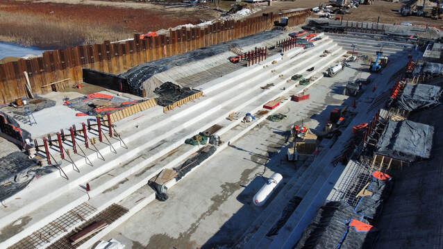
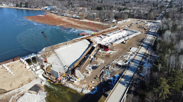
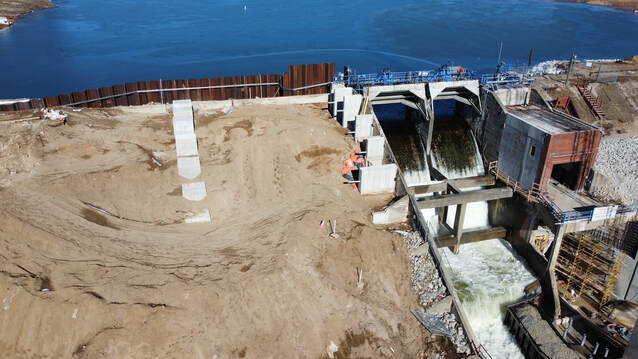
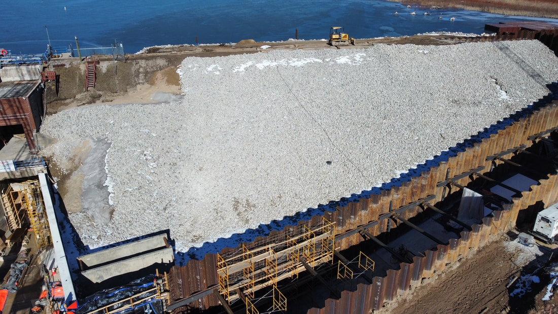
Progress Photos
|
February 8, 2023
|
|

