
Sanford DamThe Sanford Dam is located on the Tittabawassee River approximately 11 miles upstream of Midland, Michigan. It is the most downstream of the four dams. The Sanford Dam was built to provide water level control for the purpose of hydro-electric power generation and received its original license from FERC in 1987. On May 19, 2020, the Sanford Dam was overtopped by increased flow from the upstream Edenville Dam breach. This led to the Sanford Dam failure. |
Restoration Progress
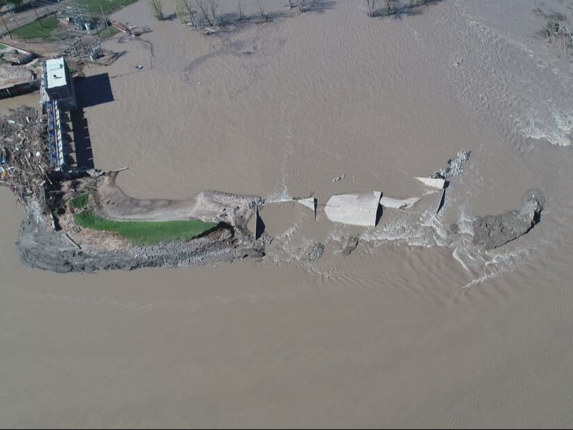
May 22, 2020

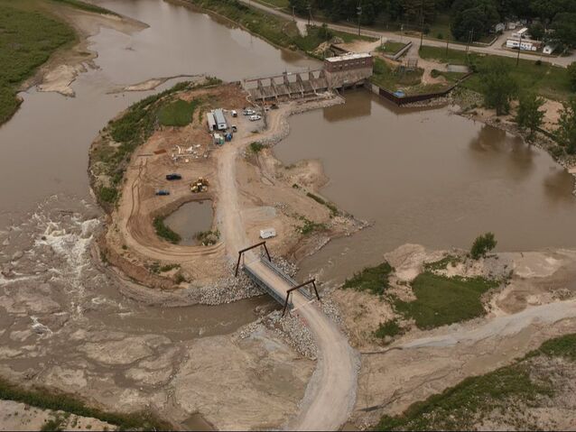
September 28, 2022 |
Click the image to watch a video of how the Tittabawassee River was redirected
|
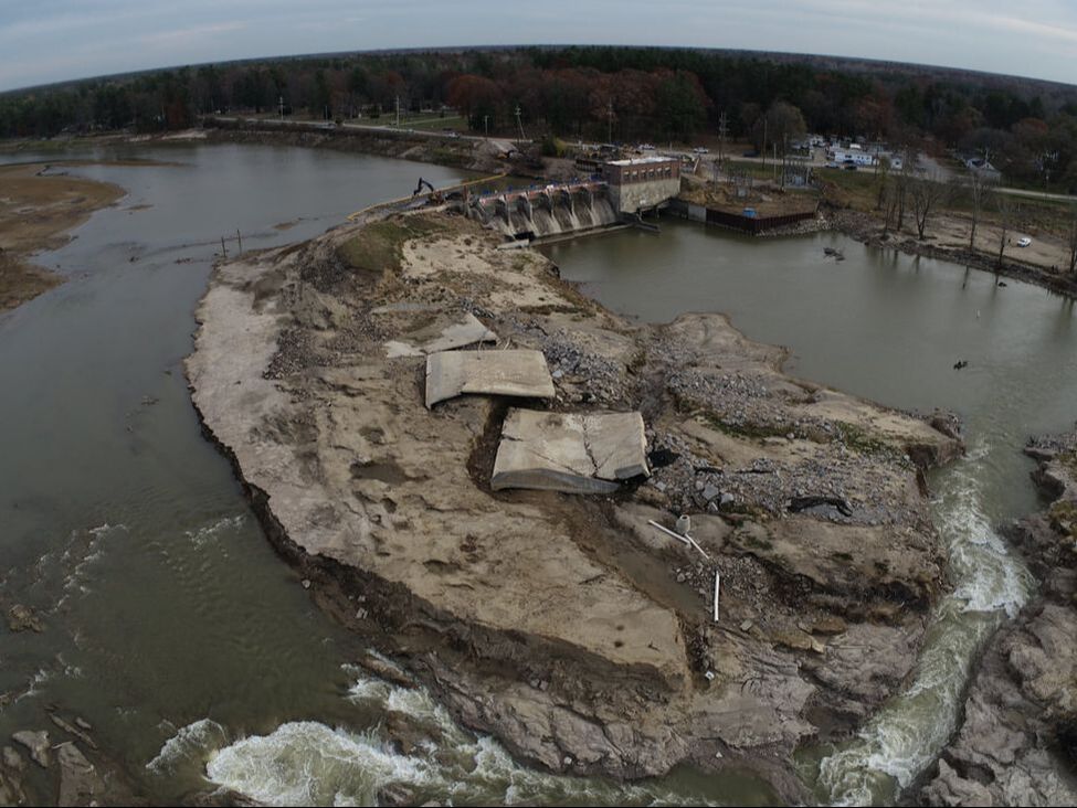
December 11, 2020
February 14, 2024
|
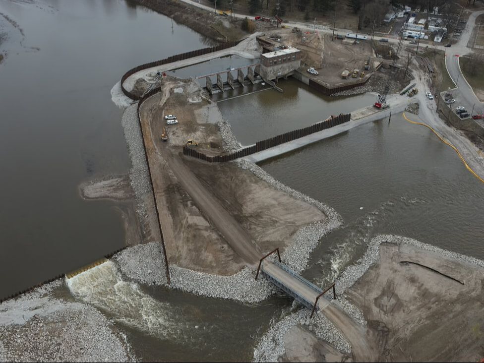
June 8, 2022
|
Quick Facts
$90 million* |
944 |
2026 |
Estimated Cost to Repair |
Waterfront Properties |
Estimated Lake Return Date |
*Project estimate is subject to variation of +10/-5%. Last updated February 8, 2024.

Resources
|
Contacts
|
